
Zion Luxury Properties

Southern Utah · VII

La Verkin, Utah

Where State Route 9 turns toward Zion, 20 miles from the park.

IThe Guide

La Verkin lies on the north bank of the Virgin River, directly across from Hurricane, with Toquerville to the north. This is where State Route 9 turns east for Zion National Park, 20 miles away by the city’s own measure. The city calls itself the Beautiful Valley, for the farmland that once filled the bench between La Verkin Creek on the west and the Hurricane Fault on the east.

The townsite was surveyed in 1898 and the post office opened in 1903. The Virgin River, La Verkin Creek and Ash Creek meet at Confluence Park, part of the Red Cliffs Desert Reserve, with trailheads in La Verkin and Hurricane. Above town, the La Verkin Overlook Trail climbs about 1.1 miles to a monument with views of the valley, and Zion Canyon Hot Springs opened between La Verkin and Hurricane in 2025.

IIThe Place

Inside La Verkin

The setting

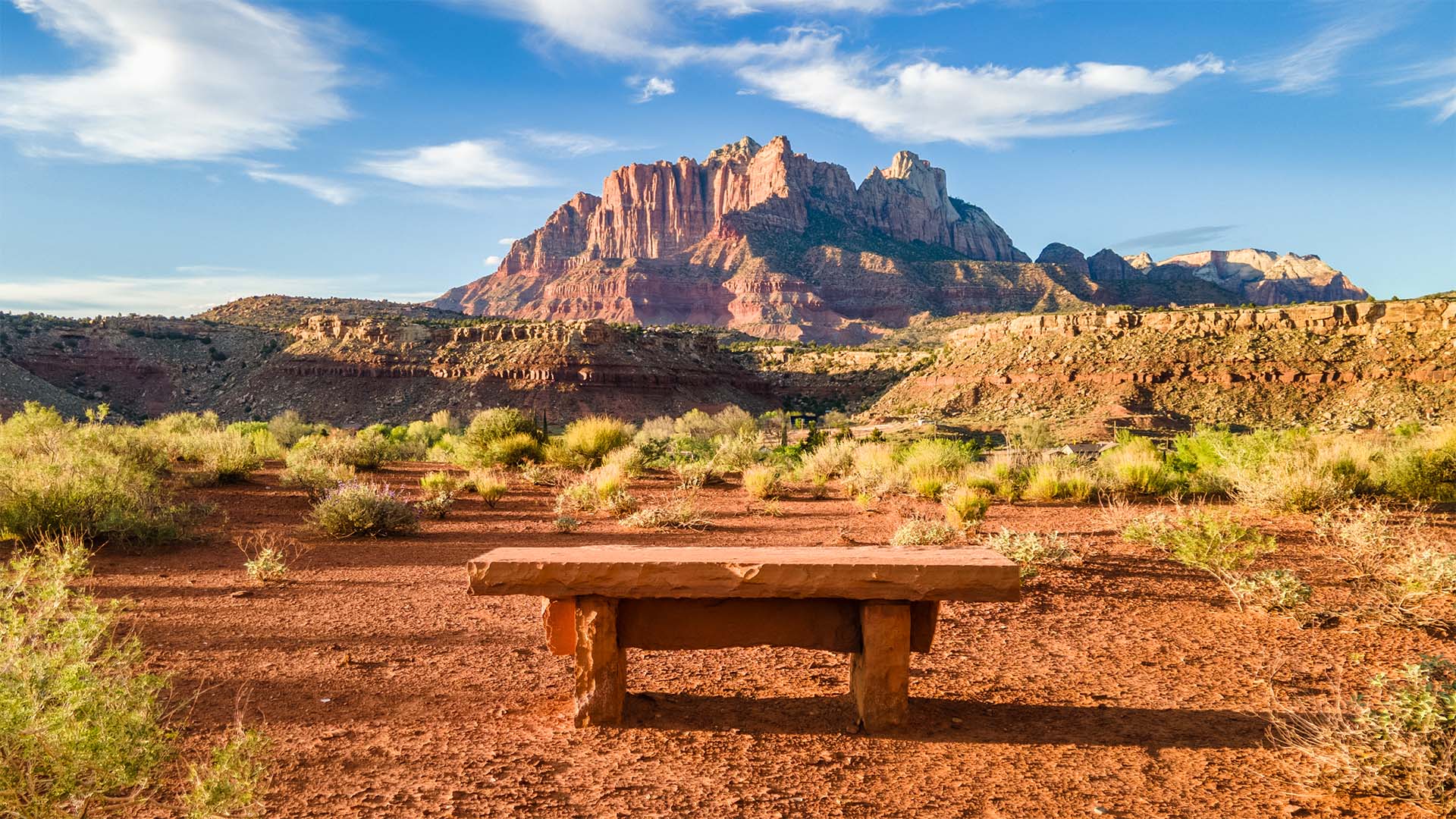
La Verkin sits at about 3,200 feet on the bench between La Verkin Creek and the Hurricane Fault. From the ridge above town you look down on the city and, to the east, the Virgin River Gorge, with the Pine Valley Mountains to the west and Zion beyond. Timpoweap Canyon, just south of town, holds the natural hot mineral springs, and Confluence Park is part of the 62,000-acre Red Cliffs Desert Reserve.

The homes

La Verkin’s zoning covers a range: single-family lots from 8,000 to 14,000 square feet, one- and two-family districts, half-acre residential-agricultural lots for small farms, and multi-family and mobile-home zones. The residential-agricultural zone is meant for small farms and hobby farms, with or without a house. Lot size, HOA terms and water service vary by neighborhood, so ask early.

Living here

Confluence Park has four trailheads, three in La Verkin and one in Hurricane, among cottonwoods where three waterways meet. The La Verkin Overlook Trail climbs about 1.1 miles to a monument, which can also be reached by a 1.5-mile dirt road off State Route 9. Zion Canyon Hot Springs has more than 50 pools, and SunTran buses stop in town. Hurricane, across the river, is minutes away.

IIIWhy Here

What sets it apart

Ask About Homes in La Verkin
  • ◆State Route 9 junctionZion National Park is 20 miles east by the city’s own count.
  • ◆Confluence ParkThe Virgin River, Ash Creek and La Verkin Creek meet among cottonwoods.
  • ◆La Verkin Overlook TrailAbout 1.1 miles one way to a monument above town.
  • ◆Zion Canyon Hot SpringsA hot-springs resort opened in 2025 between La Verkin and Hurricane.
  • ◆Natural hot springs107-degree springs run in Timpoweap Canyon, just south of town.
  • ◆Pine Valley viewsThe ridge above town looks to the Pine Valley Mountains and toward Zion.
IVOn the Market

The finest homes for sale

The highest-priced homes on the market in La Verkin right now, from the MLS.

See every home for sale in La Verkin
Next CommunityToquervilleContinue the Tour

The content relating to real estate for sale on this website comes in part from the IDX program of the Washington County Board of REALTORS®. Listing content is copyright © 2026 Washington County Board of REALTORS®. All information provided is deemed reliable but is not guaranteed and should be independently verified. It is provided for consumers’ personal, non-commercial use and may not be used for any purpose other than to identify prospective properties consumers may be interested in purchasing. Some properties shown may since have sold or may no longer be available; listings held by other brokerages are marked with the office that holds them. For the current status of any property, or to report an error in a listing, contact Zion Luxury Properties.

Washington County Board of REALTORS®: Information deemed reliable but not guaranteed.

Data last updated Saturday, October 3, 2026 at 1:51 PM (Mountain Time).